In early April, Colorado State University released its Extended-Range Forecast of Atlantic Hurricane Activity for 2020, anticipating an “above-average probability for major hurricanes making landfall along the continental United States coastline and in the Caribbean.”
As bleak as this outlook is for the countless communities along the Eastern Seaboard, the turbulent weather holds promise for certain professions seeking to understand the destructive forces of extreme weather systems on our coastal ecosystems.
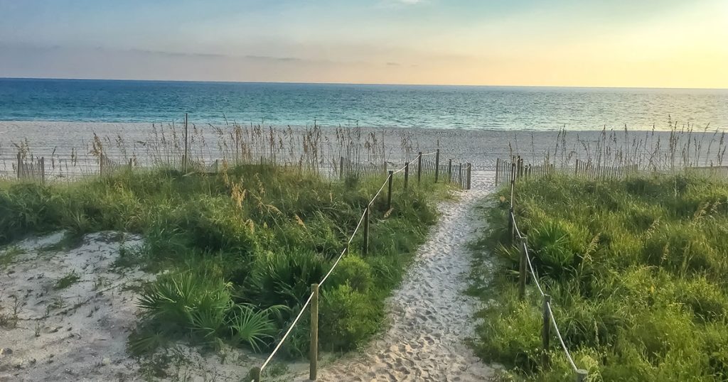
Enter the hydrographer. Hydrography is a branch of applied science that surveys and charts bodies of water—seas, lakes and waterways—and surveyors working in coastal areas are particularly interested in understanding the shifting nature of dunes and nearshore bathymetry due to the powerful forces of extreme weather events.
While the challenges of predicting hurricane activity are well documented, the recent spate of major hurricanes to make US landfall in recent years—Dorian in 2019, Michael in 2018, and Irma and Maria in 2017—is testament to the increasing intensity, frequency and duration of Atlantic hurricanes. This daunting trend is abundantly evident since the early 1980s.
Morgan & Eklund (M&E) has been collecting such data for over 35 years and, in 2019, was contracted by Olsen Associates, Inc. to perform multiple topographic and hydrographic surveys as part of the Brevard County Shore Protection Project. One of the key objectives of the project is to detail the ongoing post-storm impacts on coastal ecosystems in Florida, primarily through wading profiles with hardbottom mapping, onshore/offshore beach profiling pre- and post-event, multibeam surveys of artificial reef structures, and the inspection of dune conditions.
While hurricane forecast models are increasingly accurate, the meteorological conditions that govern storm season are highly variable and can change rapidly. From a coastal survey perspective, this makes forward planning, alongside the agility and flexibility to respond expeditiously absolutely critical. Our 2019/2020 schedule of ongoing coastal survey, detailed below, helps demonstrate the breadth of scope when it comes to pre- and post-storm assessment.
M&E’s 2019 Storm Survey Recap
May & September: Topographic surveys of the dune along the 12+ mile South Beach project area to document routine annual conditions and to quantify erosion damage Dorian.
June-July: Conducted a Year-1 post-construction high-resolution multibeam survey of 10 artificial reef sites (4.8+ acres) spaced along 5 miles of Mid Reach shoreline.
July – August: Established STA0+00 and the alignment for each of 100 profile lines and measured elevation data at a maximum of 20’ intervals noting the location and extent of exposed rock along the 7.8-mile Mid Reach, from the dune to -6 ft NAVD88 wading depth.
September – November: Within 2 – 4 weeks post-Dorian, wading profiles at every third+ monument along the 21+ miles of North, Mid, and South Reach (followed by offshore profiles when seas permitted) to assess storm-induced losses and increases in fill requirements to the federal re-nourishment project.
November: Repeated the survey at 3 select sites to assess changes in conditions post-Dorian.
M&E’s 2020 Storm Survey Schedule:
We are currently ramping up for our historically busy summer season of coastal surveying. Conditions are favorable and it’s a timely snapshot of pre-storm conditions, with hurricane activity likely to peak in late Summer/early Fall. Coastal monitoring surveys are an important part of understanding the effects of these powerful storms. They provide 3D information about the geomorphology of the coast that can be compared to past and future data. M&E has plans to collect data in 9 of 12 counties along Florida’s east coast and a few others over on the Gulf side this summer.
Learn more about M&E’s services.
