The Morgan & Eklund, Inc. staff consists of four Registered Land Surveyors, three survey crews, and three survey technicians. All of our field personnel have extensive experience working safely in and around the ocean and inland waters.
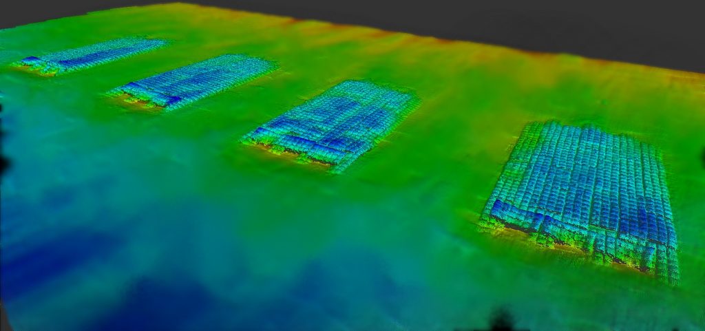
M&E has performed hundreds of beach, dune and nearshore profiles throughout Florida for beach restoration design, construction and monitoring. Additionally, our survey crews have extensive experience with levee cross-sections for levee restoration, measuring elevations through miles of marsh using Marsh Master track vehicles and airboats and performing bathymetric surveys of large lakes (Lake Apopka), rivers (Withlacoochee River) and streams for the South Florida Water Management District, the St. Johns River Water Management District and the Southwest Florida Water Management District.
Topographic Surveys We Perform
- Beach Profiles
- Canal Cross-Sections
- Engineering Design Surveys
- Automated Data Collection
- Digital Terrain Modeling
At M&E, a Professional Surveyor and Mapper is involved with each phase of quality control observations and review. Adherence to Florida Minimum Technical Standards, USACE topographic and hydrographic survey standards and Federal Geodetic Control Commission Standards (GPS) minimize the potential for error.
Our experienced personnel use established procedures, including second independent checks to improve quality control. M&E is committed to providing a professional product in a timely manner.
